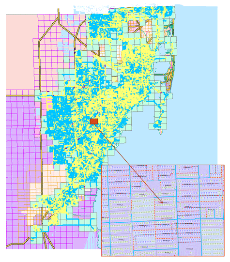
Development of GIS for land use, hydrological and water resources; geostatistical analysis of hydrological data and pre- and post-processing of GIS data; automation of data processing through scripting and programming; GIS databases for watershed and hydrology, water distribution and wastewater collection systems, stormwater management, flooding and processing of GIS data files.
ARC has developed a customized GIS application using Python scripting and ARC Objects to automate the analysis, development, and implementation into a hydraulic model of Miami-Dade’s water distribution system with more than several hundred thousand pipes and nodes.

The model implementation includes the use of ArcGIS Python geoprocessing libraries to iterate over any selected feature and to provide on-the-fly analysis, updates and modifications of the geodatabase.